
Hope Valley is a deep crease in the landscape, cut from the rock by the River Noe as it travels east to meet the River Derwent. A string of villages and settlements are dotted along its course, such as Hathersage, Shatton, Brough, Hope and Castleton.
History is evident everywhere. From ancient stone circles on the moors such as Wet Withens, to the Roman fort Navio, at the ford of the River Noe. Mam Tor Iron Age hillfort at the western head of the valley and the enigmatic Carl Wark fort at the eastern end, on Hathersage Moor. The Normans were here too, building Peveril Castle at Castleton and Camp Green earthworks at Hathersage. Old trade routes criss-cross the valley and moors and the remnants of industry are scattered across the area, in the form of the famed Peak District millstones.
Hilltops cluster around the valley, as if in protective formation. It is no surprise to find that this strategically important location has attracted strong-holds stretching over millennia.
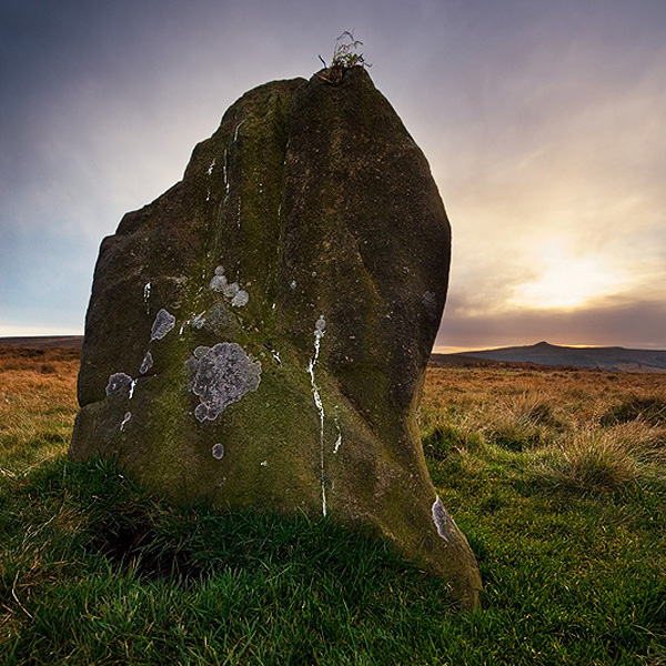
Hordron Edge stone circle Fairy Stone, as the sun sets over Win Hill
Of those hilltops, Win Hill forms one of the most recognisable points of reference in the Dark Peak. Its distinctive shape is visible for miles, dominating the view from the surrounding edges. Its shape is said to be mimicked by the tallest stone of Hordron Edge Stone Circle. It would be remarkable if this hill had not attracted tales and folklore and it is the legend of an ancient battle that gives both Win and Lose Hill their names.
Following the withdrawal of the Roman Empire, Northern Britain divided into thirteen regional kingdoms. Probably along similar tribal boundaries as before the Roman occupation. German Angles held the north eastern kingdoms of Bernicia and Deira. Throughout a number of battles in the 6th century, the Angles extended their influence over neighbouring Celtic kingdoms. In the early 7th century, Aethelfrith of Bernicia usurped the crown of Deira and created the united kingdom of Northumbria. Following Aethelfrith’s death at Bawtry in 616, Edwin of Deira seized the throne and continued to expand Northumbrian territory.
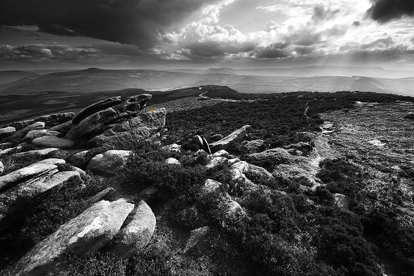
Win Hill from The Hurkling Stones on Derwent Edge
Such power attracted the jealousy of his rivals and in 626, Prince Cwichelm of the West Saxons (Wessex) sent an assassin to kill Edwin. The attempt was unsuccessful and resulted in Edwin marching south to take his revenge on the Saxons. Prince Cwichelm and his father, King Cynegils of Wessex marched north to meet him (possibly with King Penda of Mercia). It is reputed that they met at Win Hill.
The army of Wessex and the Mercians was much larger than that of the Northumbrians and it seems that the battle began to go against them. According to legend, the Angles had built a wall at the top of Win Hill on which they were camped, behind which they withdrew. The Saxons, sensing victory charged forward but were crushed when the Northumbrians rolled boulders down the hillside on to them.
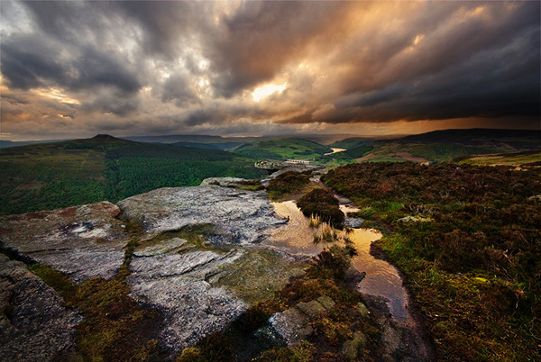
Win Hill from Bamford Edge, as strom clouds gather
No actual evidence has yet come to light, either in scripture or archaeology that confirms beyond doubt that a battle took place at Win Hill. It is surprising also that no evidence of the wall mentioned in the story has been found on the hill. There is a place nearby however, where an ancient wall very definitely exists. Carl Wark. And it is this enigmatic place that I will look at next.
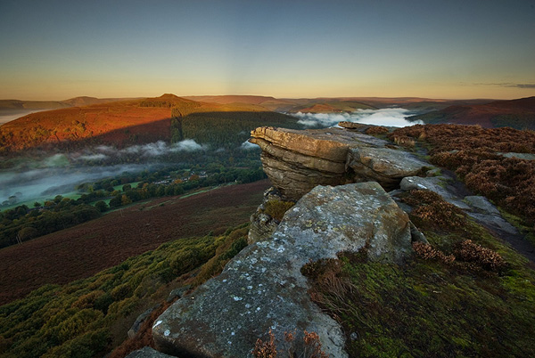
Crepuscular rays over Win Hill at sunrise, from Bamford Edge
